
Spatio-temporal dynamics of apex predator populations and habitat connectivity in the Maharashtra tiger reserve network: a multi-year camera trap and GIS-based assessment
Keywords:
Bengal Tiger, Camera Trapping, GIS, Habitat Suitability, Landscape Connectivity, Occupancy Modelling.Abstract
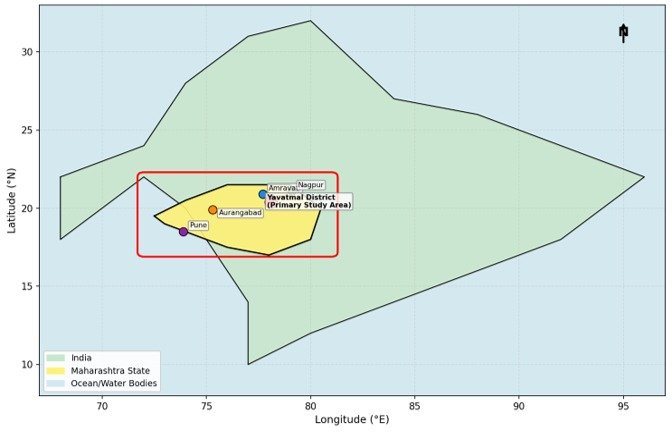
This study is a multi-disciplinary four year (2021–2024) study on spatio-temporal ecology of the apex predator in Maharashtra Tiger Reserve Network (MTRN), central India. Using a systematic grid-based camera trap network of 480 stations over 6200 km² with a combination of non-invasive genetic sampling, satellite remote sensing and GIS analyses, we evaluated the population size, distribution, habitat use and connectivity of corridors for Bengal tiger (Panthera tigris tigris) and Indian leopard (Panthera pardus fusca) in five protected area complexes: Tadoba-Andhari Tiger Reserve (TATR), Melghat Tiger Reserve (MTR), Pench Maharashtra, Bor Wildlife Sanctuary, and Navegaon-Nagzira Tiger Reserve. The main methods used for data analysis were photo-capture rate analysis, occupancy modelling (Program PRESENCE), and MaxEnt habitat suitability modelling. The number of independent detections for tigers by camera traps was 2,847 for 87,360 trap-nights, resulting in an estimated tiger population of 94 ± 8 (95% CI). The number of independent detections for leopards by camera traps was 3,412 for 87,360 trap-nights, resulting in an estimated leopard population of 187 ± 14 (95% CI). An individual identification resulted in the identification of 67 individual tigers in the network. Tiger occupancy was significantly influenced by prey density (β = 0.78, p < 0.001), distance to human settlements (β = −0.65, p < 0.001), and forest cover continuity (β = 0.81, p < 0.001). High predictive accuracy of MaxEnt modelling (mean AUC = 0.921) was found, where about 2,847 km² area was identified as high suitability tiger habitat. Three functional (high quality), two partially degraded (medium quality) and one critically degraded (low quality) wildlife corridors were identified through corridor analysis and Melghat–Tadoba corridor was identified as critically at-risk due to the fragmentation of NH-6 (National Highway). Results of Diel activity overlap analysis showed that temporal partitioning (Δ1 = 0.41) was a mechanism of coexistence between tigers and leopards. The number of human-wildlife conflict incidents decreased by 68% in the managed buffer zones as compared to the unmanaged buffer zones, indicating effectiveness of the Village Forest Committee engagement. Our findings provide the evidence base for the need for evidence-based adaptive management and transboundary conservation planning of the Central Indian Landscape (CIL). Results can be directly relevant for the national tiger recovery plans and for the reassessment procedures of the IUCN Red List.
Downloads
Published
How to Cite
Issue
Section
Copyright (c) 2025 Mr. Devendra Kumar Durgam

This work is licensed under a Creative Commons Attribution 4.0 International License.

