The Effect of Land Use Changes on the Paya Tumpi Flash Flood, Central Aceh District
Keywords:
Perubahan Lahan, Banjir Bandang, Sig (Sistem Informasi Geospasial).Abstract
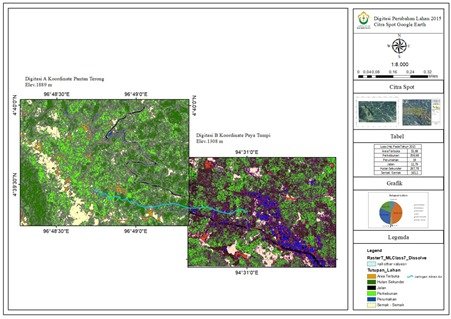
Central Aceh Regency is a highland area with little risk of flooding due to its elevation, allowing water to drain quickly. Floods began to occur more frequently in the Central Aceh District in 2015s, with overflowing water in Urban Drainage in various locations. The land use of the Paya Tumpi Waterway Network has shifted from forest to agricultural. As evidenced by the high flow coefficient, which can lead to flooding in the Paya Tumpi watershed area, insufficient agricultural land processing can wreak havoc on the hydrological function of the water flow network. A low topography characterizes the site. Due to an overflown of the water flow network in Paya Tumpi village, Central Aceh Regency experienced a Flash Flood on May 13, 2020. The main issue addressed in this research is the impact of land changes on the hydrological function of the water flow network against Banjir Bandang. Using hydrological analysis and land change, we determined the flood discharge that occurred. In deciding the flood discharge, hydrological analysis and land change analysis using GIS software were used. The findings revealed that the flood influenced changes in land use, causing the water network's capacity to become ineffective.
Downloads

Published
How to Cite
Issue
Section
Copyright (c) 2021 Authors

This work is licensed under a Creative Commons Attribution-NonCommercial 4.0 International License.
